Updated in September 2026
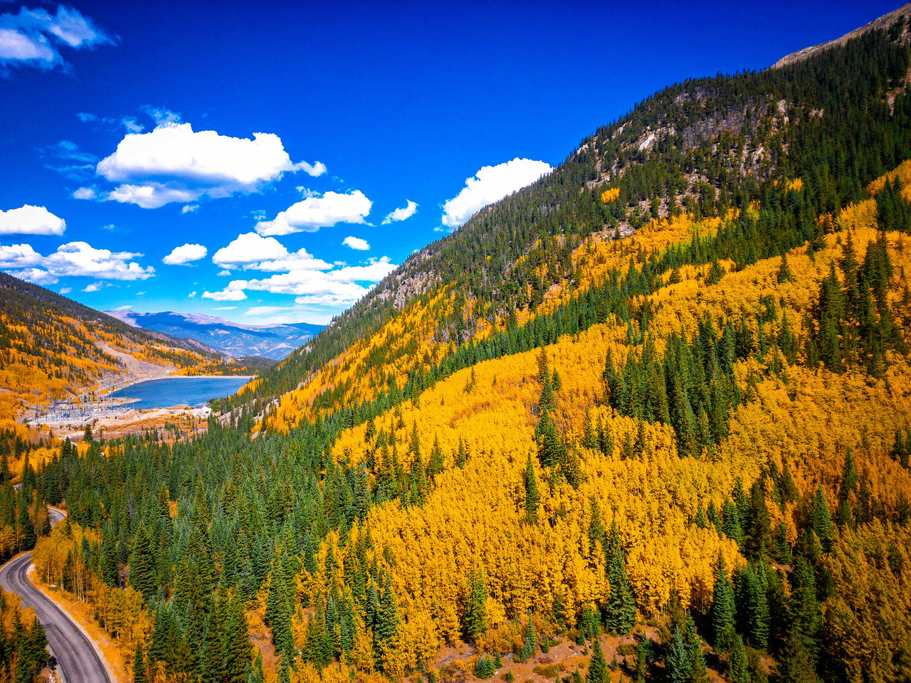
Fall colors near Colorado Springs peak in a window that runs roughly mid-September through early October, though the exact dates shift year to year with rainfall and temperature. Some of the best viewing sits inside city limits, at North Cheyenne Cañon Park and Garden of the Gods, while other stops call for a drive west on Highway 24 through Cascade, Green Mountain Falls, and Woodland Park toward Mueller State Park, or south toward the old mining towns of Cripple Creek and Victor. Elevation drives a lot of the variation: a single afternoon on Pikes Peak Highway can carry a driver from gold aspen near the base to conditions closer to winter near the 14,115-foot summit. Residents who have watched this region change color for years plan around elevation as much as the calendar, and people considering a move to Colorado Springs often use their first fall season here as a preview of what year-round life looks like.
Key Takeaways
- Peak color runs mid-September through early October near Colorado Springs, though drier years can push it earlier (check a current foliage map before heading out).
- North Cheyenne Cañon Park and Garden of the Gods give residents close-in options inside city limits for a short outing.
- The Ute Pass corridor (Cascade, Green Mountain Falls, Woodland Park) and Mueller State Park deliver classic aspen groves within a manageable drive.
- Cripple Creek and Victor pair fall color with mining history and a seasonal narrow-gauge train ride.
- Pikes Peak Highway shows color in layers by elevation, with gold aspen lower down and winter-like conditions near the summit.
When Do Fall Colors Peak Near Colorado Springs?
Most years, color builds through mid-September and holds into early October across the region. Drier conditions can push the change earlier and compress the window, which is why a flexible plan beats one built around a fixed date on the calendar. Higher elevations shift first, so the timing that works for Mueller State Park or the upper stretch of Pikes Peak Highway won't necessarily match what's happening at North Cheyenne Cañon Park the same week.
Local Tip: In drier years, color at lower elevations can arrive earlier than expected. A quick look at a current foliage map a few days before a trip beats planning around what last year's calendar suggested.
North Cheyenne Cañon Park: Fall Color Close to Town
North Cheyenne Cañon Park sits closer to town than any other option on this list, which makes it the pick for residents without a lot of time to spare. The creek running through the canyon reflects the color overhead, and the canyon walls frame the view on both sides without requiring a long approach. Someone leaving work at five o'clock can still get a real fall outing in before dark, which isn't true of most of the drives further west. Families new to the area often start here simply because it asks for the least planning.
Garden of the Gods: Red Rock Against Gold Cottonwoods
Garden of the Gods works differently than the aspen-heavy spots on this list, and that's exactly why it belongs here. The red rock formations hold their color year-round, so what changes in fall is the cottonwoods around them, which turn gold and set up a contrast that neither the standing rock nor the trees alone provide. Visitors chasing pure aspen color should look toward Mueller State Park or the higher stretches of Highway 24 instead, since this is a color-contrast destination rather than a big-aspen one. For residents who want a fall walk without leaving town, Garden of the Gods delivers scenery in every season, and autumn adds a layer that summer visitors never see.
The Ute Pass Corridor Along Highway 24
Highway 24 westbound out of Colorado Springs climbs through Ute Pass and strings together three distinct stops before reaching Woodland Park. Each one offers a different scale of experience, and the corridor works equally well as a single destination or as the first leg of a longer day.
Cascade
Cascade sits at the base of the pass and gives quick access to higher ground without much of a drive. It works well as a first stop for drivers heading further west, or as a short trip on its own for anyone pressed for time.
Green Mountain Falls
Green Mountain Falls centers on a small lake with a gazebo, set against forested surroundings that keep the whole town feeling smaller than its neighbors along the highway. Parking is limited here, so arriving earlier in the day matters more than it does at the bigger stops on this list. The small-town scale is the draw: a short loop around the lake covers the whole visit, and there's no pretense of anything larger.
Woodland Park
Woodland Park sits further along Highway 24 than Cascade or Green Mountain Falls, and it functions two ways: as a standalone half-day trip for residents who don't want to go further, or as a hub for a longer loop toward Mueller State Park and beyond. Its position on the highway makes it the natural staging point for anyone continuing west.
Mueller State Park's Aspen Groves Near Divide
Mueller State Park, near Divide, holds some of the most extensive aspen groves within reach of Colorado Springs, backed by wide mountain views and a trail network large enough to fill a full day. This is the destination for hikers who want more than a scenic pullout, and the park's size means a return trip rarely covers the same ground twice.
The Cheesman Ranch Loop
The Cheesman Ranch Loop runs 5.4 miles at a moderate grade, long enough to move through several distinct aspen stands without demanding a technical climb. It gives hikers a real sense of the park's scale in a single outing, which shorter trails near the entrance don't provide.
Main Takeaway: Mueller State Park rewards a longer visit. Drivers who only stop at the entrance miss the deeper aspen groves that the trail network, including the Cheesman Ranch Loop, actually reaches.
How Does Fall Change on Pikes Peak Highway?
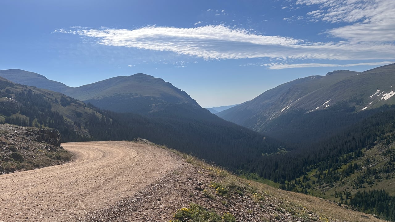
Fall changes fast on Pikes Peak Highway because elevation gain does the work that latitude does elsewhere. Gold aspen show up in the lower stretches of the road, while conditions near the 14,115-foot summit can already resemble winter, with wind and cold that catch underdressed drivers off guard. That gap means a single trip up the highway can pass through two seasons in under an hour, so packing layers matters more here than at any other stop on this list. Drivers who'd rather leave the switchbacks to someone else can ride the Pikes Peak Cog Railway instead, which covers the same elevation change without the driving.
Cripple Creek and Victor: Mining History Wrapped in Color
Cripple Creek and Victor give fall color a historic backdrop that the rest of this list doesn't offer. Both towns date to the region's mining era, and drivers can reach them via Highway 67 from Divide or via the Gold Belt Byway approaching from the south. Cripple Creek runs a seasonal narrow-gauge railroad through the fall months, which turns the trip into more than a scenic drive for anyone traveling with kids or out-of-town guests. The two routes in offer genuinely different experiences of the same destination, one direct and one scenic, so the choice comes down to how much of the day a visitor wants to spend getting there.
Planning a Full Loop for Fall Colors
A full day works best as a loop rather than an out-and-back, and the geography here supports it. Highway 24 west through Cascade, Green Mountain Falls, and Woodland Park connects naturally to Mueller State Park, and from there Highway 67 drops south into Cripple Creek and Victor. Drivers with a full day left can continue on the Gold Belt Byway toward Cañon City rather than backtracking the way they came, and those extending that far often add the Royal Gorge Bridge before turning back toward Colorado Springs.
Destination | Where It Fits In | Best For |
|---|---|---|
North Cheyenne Cañon Park | Inside city limits | A short outing with limited time |
Garden of the Gods | Inside city limits | Red rock set against gold cottonwoods |
Cascade & Green Mountain Falls | Early on Highway 24 westbound | Quick mountain access, small-town scale |
Woodland Park | Further along Highway 24 | A half-day trip or a hub for a longer loop |
Mueller State Park | Near Divide | Aspen groves and a real trail network |
Pikes Peak Highway | Off Highway 24 near Cascade | Layered color that changes with elevation |
Cripple Creek & Victor | Via Highway 67 or the Gold Belt Byway | Mining history and a seasonal train ride |
Residents who spend a fall driving this loop tend to come back the following weekend for whichever stop they rushed through the first time. Newcomers get something extra out of the trip: a look at how much variety sits within a short drive of a single city, from red rock in town to aspen groves at 9,000 feet.
Anyone who falls for this scenery and starts picturing themselves here year-round can browse Colorado Springs homes for sale to see what living near all of it actually looks like. Pink Realty, led by Monica and Russ Breckenridge, works with buyers across Colorado Springs, Parker, Pueblo West, Falcon, Fountain, Monument, and the Denver metro, and welcomes a conversation from anyone weighing a move to the region this fall.